cart
(
kr
0
)
No products in the cart.
Home
Clothes
Child
Woman
Man
Accessories
My account
Contact Us
cart
(
kr
0
)
No products in the cart.
Search
Home
Clothes
Child
Woman
Man
Accessories
My account
Contact Us
Cart
Loading...
Loose-fitting trousers NARVIK
Woman
Oversize shorts BØDO – Black
Woman
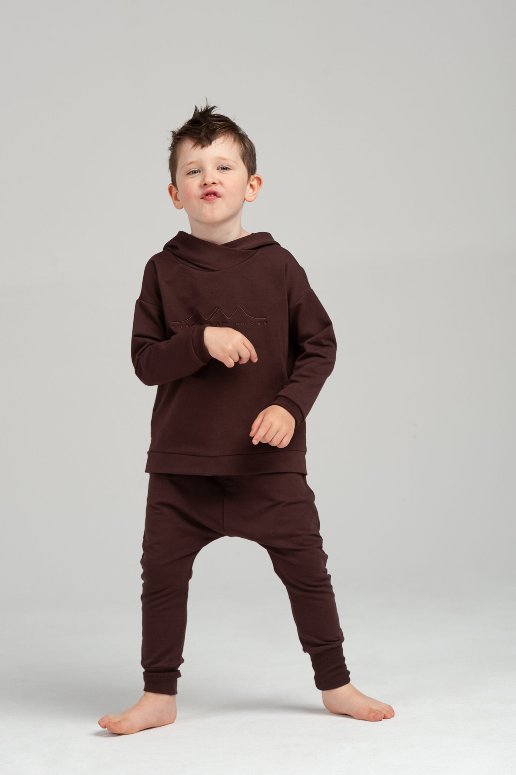
Kids sweatsuit set DRØBAK – Brown
kr
900
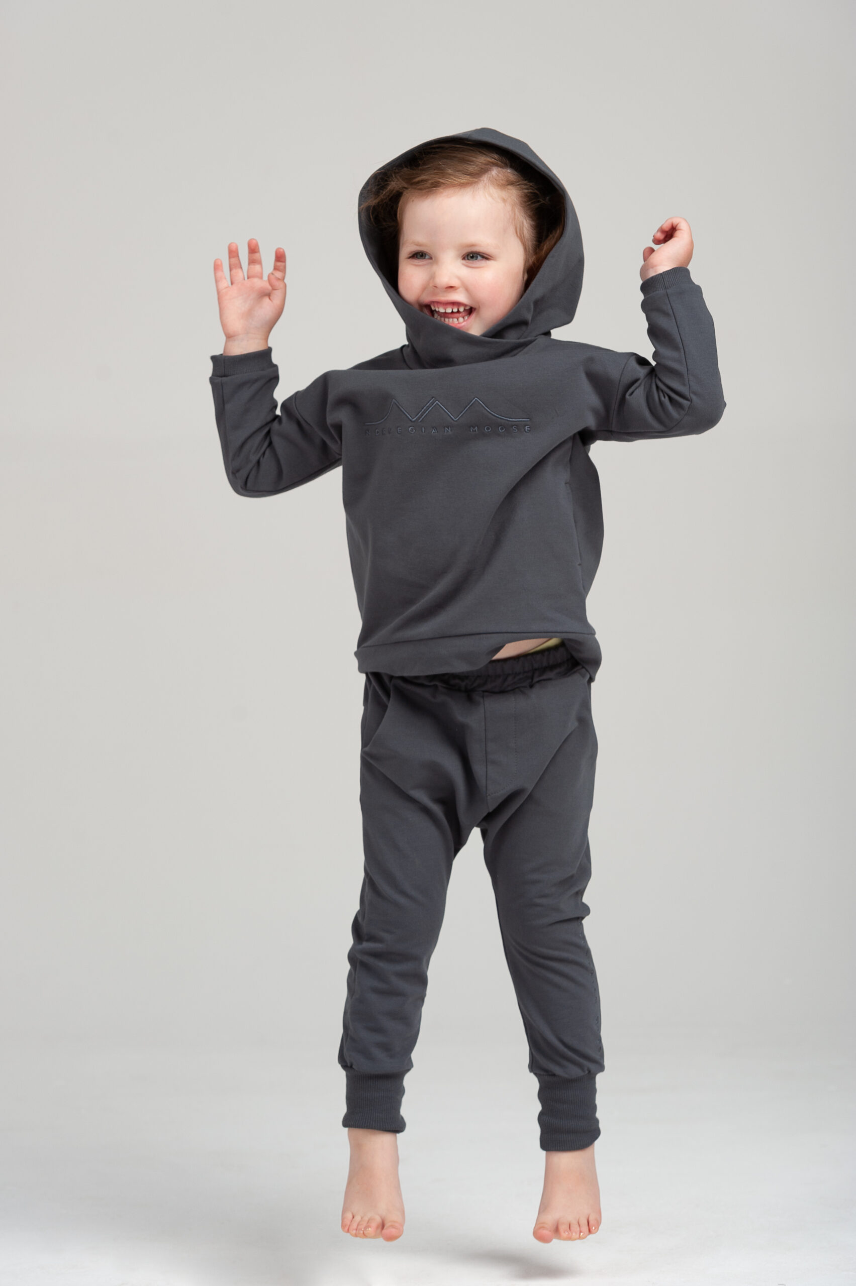
Kids sweatsuit set DRØBAK – Charcoal grey
kr
900
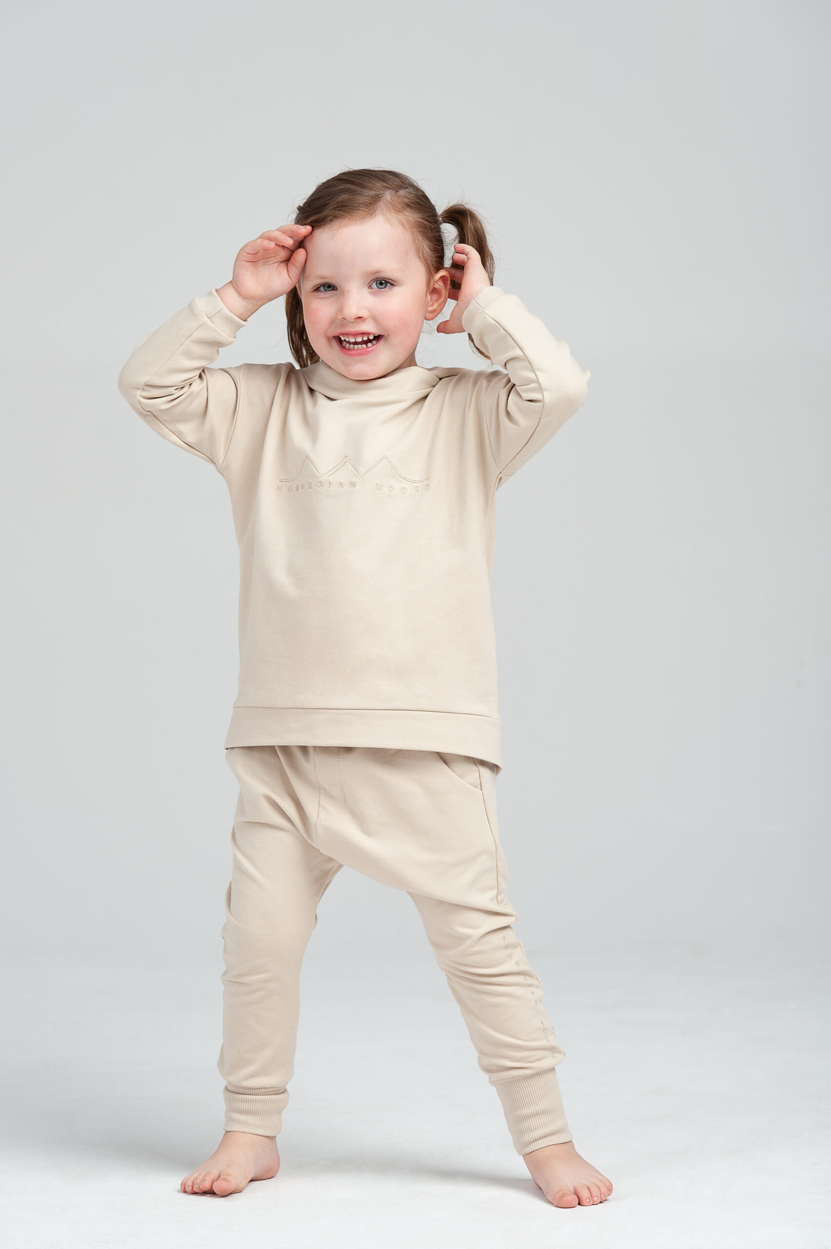
Kids sweatsuit set DRØBAK – Cream
kr
900
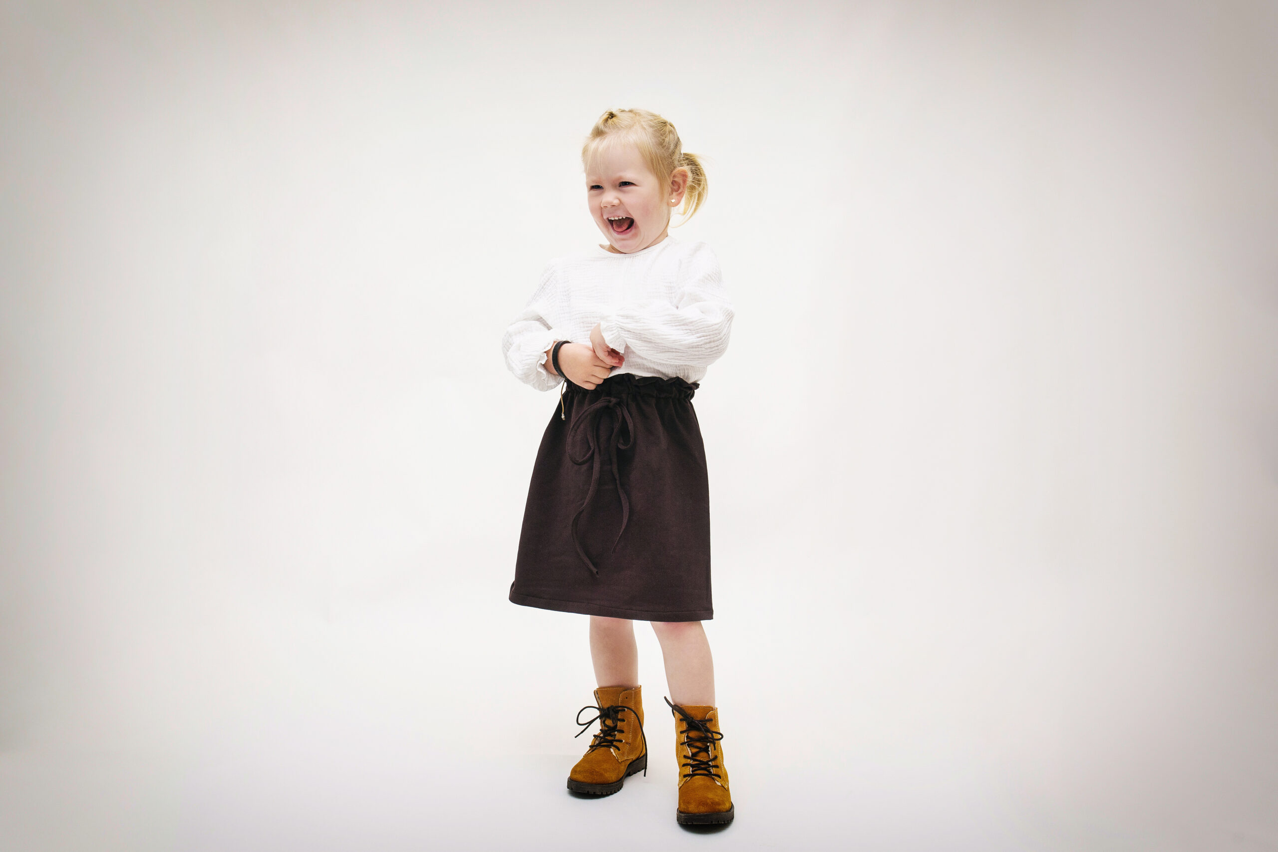
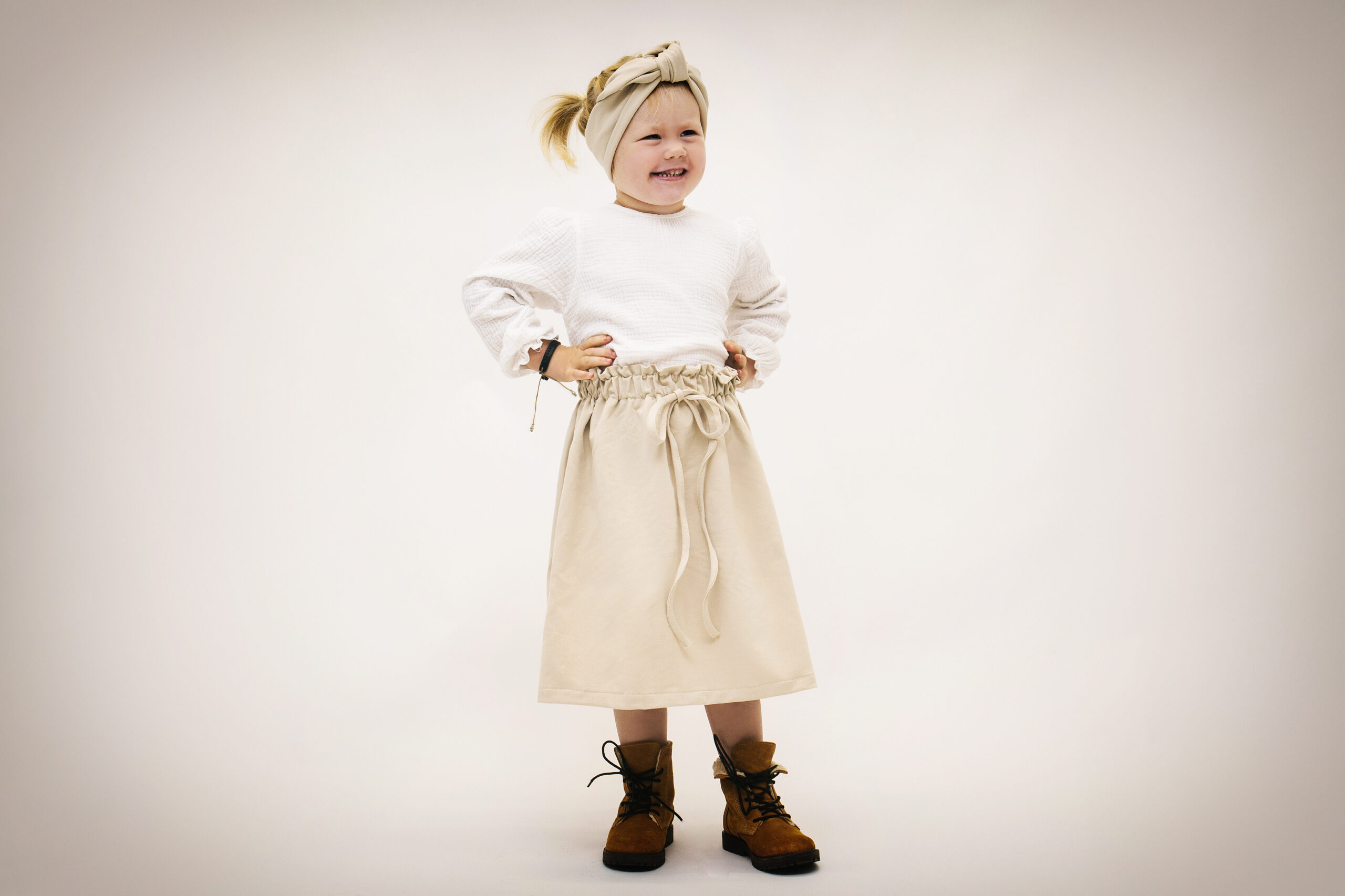
Kids skirt DOKKA
kr
500
Kids skirt DOKKA
Select your currency
NOK
Norwegian krone
PLN
Polish złoty
EUR
Euro